Day Hiking and Trails11 min read
Reading Topographic Maps Without GPS
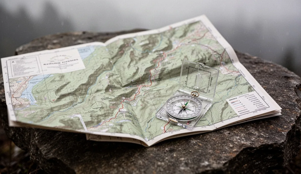
Master contour lines, declination adjustments, and handrail features. Stay on route when phone batteries drain or satellite signals fail.
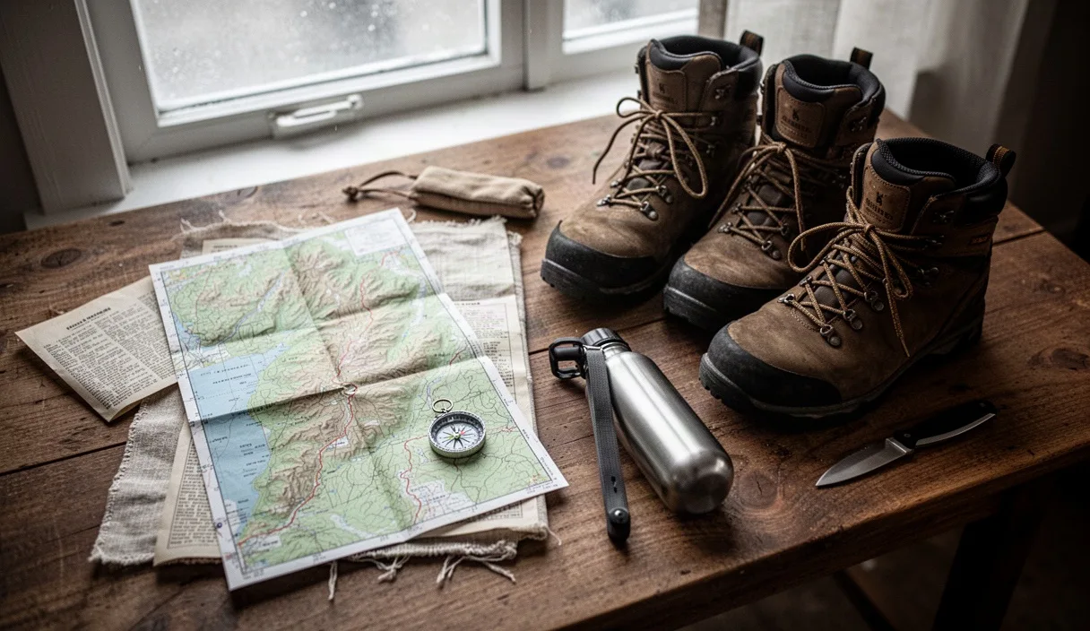
Learn the exact pack contents needed for an eight-hour forest trek. Cut unnecessary base weight while keeping critical safety gear on hand.
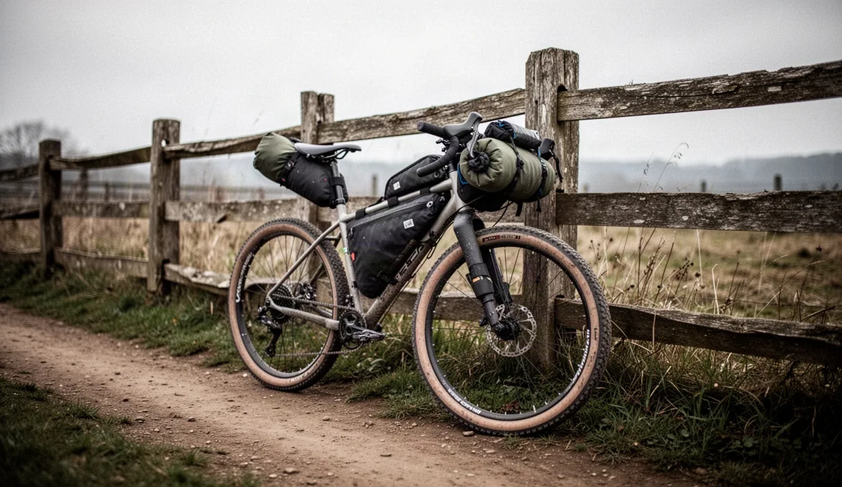
Short-range route scouting, trail navigation, and pacing tactics for day trips under 30 kilometers.
Writers visit every park, summit, and riverway directly.
No tourist board stipends or hidden promotional arrangements.
Trail profiles rely on calibrated barometric field altimeters.
Trail status logs update after major weather shifts.
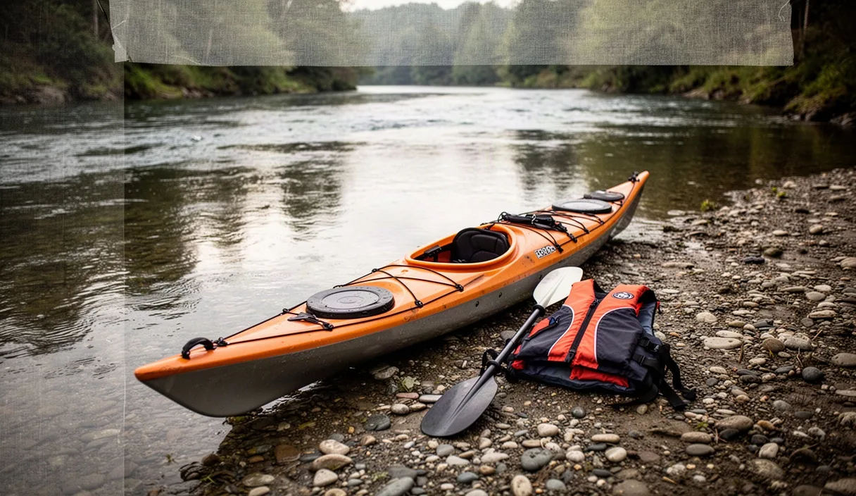
River scouting, kayak trim, and safety checklists for flatwater and class-one streams.
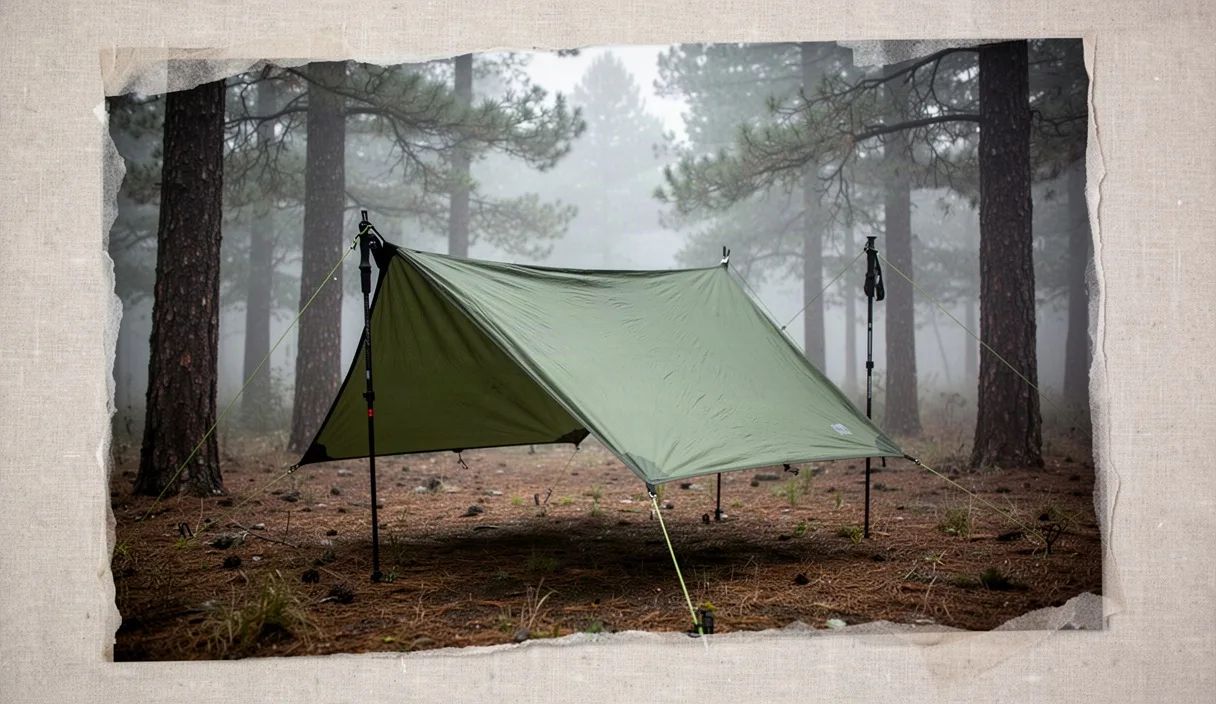
Shelter pitching, water purification, and camp management for regional overnighters.
We verify every kilometer and material claim in person. If a trail route or outdoor gear build does not survive rain and scree, it does not enter our pages.
 Alena VanceHead of Editorial Standards and Field Audits
Submit trail closures, coordinate corrections, or pitch a regional route to our editorial team. We reply to practical inquiries within two business days.